




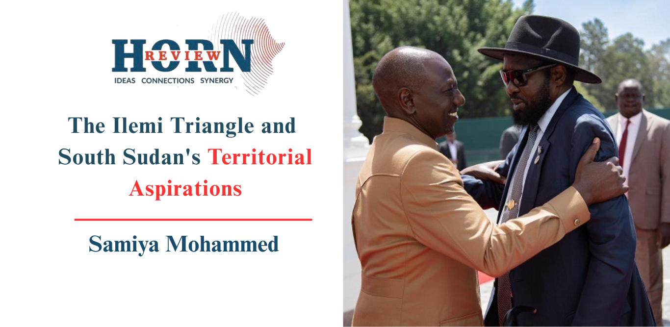
Title: South Sudan’s Ilemi Triangle Claim: Analyzing VP Taban Deng Gai’s Rhetoric vs. Kenya’s De Facto Control
Meta Description: Explore the renewed Ilemi Triangle dispute as South Sudan’s VP Taban Deng Gai challenges Kenya’s sovereignty. Analyze the colonial cartography, uti possidetis juris, Kenya’s administrative control, and the conflation with the Kafia Kingi dispute.
Introduction: A Century-Old Cartographic Ghost Returns
The Ilemi Triangle, a rugged, arid expanse bordering Kenya, South Sudan, and Ethiopia, has resurfaced as a flashpoint in Horn of Africa geopolitics. Recent pronouncements by South Sudan’s Vice President Taban Deng Gai, delivered during a cabinet meeting, have thrust this dormant territorial question back into the spotlight. Using the evocative metaphor of the “two horns of the bull” to describe what he terms the cartographic excision of South Sudanese territory, the Vice President has stirred nationalist sentiment and regional attention.
However, beneath the rhetoric lies a complex interplay of colonial-era administrative lines, the legal doctrine of uti possidetis juris, and the hard reality of state capacity. This analysis dissects the Vice President’s claims, exposes a critical geographical conflation involving the Kafia Kingi enclave, and assesses why Kenya’s nearly five-decade-long administrative control remains the dominant reality on the ground.
The Colonial Palimpsest: Origins of the Ilemi Triangle Dispute
Understanding the current impasse requires navigating a “palimpsest of overlapping claims” drawn by British colonial authorities—lines never intended as definitive international borders.
The 1914 Parallel and the 1950 Patrol Line
The foundational confusion stems from the 1914 straight parallel, a theoretical boundary separating the Anglo-Egyptian Sudan from British East Africa. Subsequent adjustments, particularly the 1938 and 1950 Sudanese Patrol Lines, were pragmatic tools designed to accommodate the seasonal migrations of Turkana pastoralists, not to settle sovereignty.
- The 1950 Patrol Line is critical: Kenya has treated this line as its de facto northern boundary since the late 1970s.
- Legal Limbo: Crucially, this line was never formally ratified by all interested parties (Sudan, Kenya, and later South Sudan), leaving the triangle’s legal status perpetually unresolved.
Key Takeaway: The dispute is not about a single broken treaty, but a series of administrative conveniences that hardened into competing sovereignty claims upon independence.
Competing Legal Frameworks: Inheritance vs. Effective Control
The dispute pits two fundamental principles of international law against one another: the colonial inheritance doctrine versus the reality of effective administration.
South Sudan’s Position: Uti Possidetis Juris
Upon independence in 2011, South Sudan inherited Sudan’s claim to the Ilemi Triangle. The legal basis rests on the principle of uti possidetis juris—the norm that new states inherit the colonial boundaries existing at the moment of independence.
- The Complication: As highlighted by researchers, the territory was never clearly mapped as part of Sudan under any recognized, ratified boundary line. The claim is one of principle guarded in theory but rarely asserted in practice.
Kenya’s Position: Prescriptive Entitlement & Effective Administration
Kenya’s stance is grounded not in colonial maps, but in state practice since the presidency of Daniel arap Moi (late 1970s).
- Administrative Integration: Kenya incorporated the area into local governance structures (Turkana County).
- Security Presence: Consistent deployment of security forces to protect pastoralist communities.
- Cartographic Consistency: Inclusion in official national mapping exercises for nearly 50 years.
In international law, this sustained, peaceful, and public exercise of authority (effectivités) creates a strong prescriptive title that often outweighs paper claims based on unratified colonial lines.
Deconstructing the “Two Horns of the Bull”: Rhetoric vs. Geography
Vice President Taban Deng Gai’s “two horns of the bull” metaphor draws on powerful pastoralist symbolism. However, a close examination of his specific geographic references reveals a fundamental factual error that undermines the coherence of South Sudan’s diplomatic position.
The Conflation: Ilemi Triangle vs. Kafia Kingi
In his remarks, the VP asserted that the “Kenyan Government” had “cut out” Hofrat an Nahas and Kafia Kingi—locating one “horn” in the eastern area of Western Bahr el Ghazal.
This is geographically and politically inaccurate.
| Feature | Actual Location | Relevant Dispute |
|---|---|---|
| Ilemi Triangle | Kenya / South Sudan / Ethiopia Tri-border | Kenya vs. South Sudan (Current VP Claim) |
| Kafia Kingi Enclave | Western Bahr el Ghazal (Bordering Sudan & CAR) | South Sudan vs. Sudan (Separate, ongoing dispute) |
| Hofrat an Nahas (“Copper Hole”) | Within Kafia Kingi area | South Sudan vs. Sudan (Mineral-rich zone) |
Kafia Kingi (approx. 10,000 km²) is a distinct territory contested between Juba and Khartoum since 2011. It is rich in copper, gold, and uranium, historically a haven for armed groups (including LRA remnants), and currently affected by Rapid Support Forces (RSF) activity amid Sudan’s civil war. It has no geographical connection to Kenya.
Why This Error Matters
- Credibility Gap: Attributing the loss of Kafia Kingi to Kenya demonstrates a lack of precision in the Vice President’s command of the territorial portfolio.
- Domestic Political Utility: The conflation likely serves a domestic narrative: painting a unified picture of “external encroachment” on South Sudan’s territorial integrity from all sides.
- Diplomatic Cost: Informed observers and counterparties (Nairobi, Khartoum, Addis Ababa, AU Border Programme) will note the inaccuracy, potentially weakening Juba’s standing in actual negotiations over Ilemi.
Scenarios for the Future: Why the Status Quo Prevails
Analysts assess three broad trajectories for the Ilemi Triangle. The probability of a formal resolution favoring South Sudan approaches zero under current conditions.
1. Formal Resolution (Probability: Near Zero)
Requires a fundamental shift in the regional balance of power, a unified and capable South Sudanese state, and a political decision by Kenya to cede territory it has administered for 45+ years. None of these precursors exist.
2. Managed Ambiguity & Localized Conflict (Probability: High)
The most likely outcome. The triangle remains a zone of ambiguity—claimed by one, administered by the other.
- Drivers: Competition over water and pasture for Turkana, Toposa, and Nyangatom pastoralists.
- Risk: Occasional cross-border skirmishes or cattle raids escalating into diplomatic incidents, managed through ad-hoc local peace committees rather than high-level treaties.
3. Escalation via Resource Discovery (Probability: Low but Non-Zero)
If commercially viable oil or mineral deposits are confirmed in the triangle, the calculus changes. High-stakes resource nationalism could force formal arbitration (ICJ/AU) or militarization. Current geological data does not strongly support this scenario compared to the proven reserves in the Kafia Kingi zone further north.
Sovereignty as Performance: The Core Dynamic
Vice President Taban Deng Gai’s intervention is best understood not as a prelude to war or a legal brief for the ICJ, but as a performance of sovereignty from a position of weakness.
- Weak State Capacity: South Sudan lacks the administrative reach, security monopoly, and fiscal capacity to project power into the Ilemi Triangle effectively.
- Domestic Diversion: Territorial nationalism offers a rare point of unity for a fractured elite in Juba, diverting attention from the stalled implementation of the R-ARCSS peace agreement, economic collapse, and intercommunal violence.
- Kenya’s Leverage: Nairobi remains a critical mediator in South Sudan’s peace process, a major trade partner, and host to a large refugee population. This structural interdependence constrains Kenya from aggressive expansion but also insulates it from pressure to withdraw.
Conclusion: The Map is Not the Territory
The Ilemi Triangle dispute encapsulates the African border paradox: colonial lines drawn for administrative convenience have become the scaffolding for modern sovereignty, yet the capacity to make those lines real on the ground remains unevenly distributed.
South Sudan holds the moral and legal argument rooted in uti possidetis, weakened by the fact that the colonial lines were never settled. Kenya holds the material reality—administration, security, and infrastructure—bolstered by half a century of effectivités.
Until Juba develops the state capacity to administer what it claims on the map, the Vice President’s “horns of the bull” will remain a powerful metaphor for a territory that exists primarily in the archives of colonial cartography and the speeches of nationalist rhetoric, while the Turkana pastoralists and Kenyan administrators continue the daily work of sovereignty on the ground.
FAQ: The Ilemi Triangle Dispute
Q: Where exactly is the Ilemi Triangle located? A: It is a disputed region in East Africa, roughly 10,000–14,000 sq km, situated at the junction of the borders of Kenya, South Sudan, and Ethiopia, northwest of Lake Turkana.
Q: What is the legal basis for South Sudan’s claim? A: South Sudan bases its claim on the principle of uti possidetis juris, inheriting the borders of the Anglo-Egyptian Sudan at independence (1956/2011), specifically referencing the 1914 and 1938 colonial lines.
Q: Why does Kenya control the area? A: Since the late 1970s, Kenya has exercised continuous, effective administration—policing, local governance, service delivery, and mapping—creating a strong prescriptive title under international law.
Q: What is the “Kafia Kingi” enclave and why was it mentioned? A: Kafia Kingi is a mineral-rich area on the South Sudan–Sudan border (Western Bahr el Ghazal). VP Taban Deng Gai incorrectly attributed its contested status to Kenya, conflating two distinct border disputes.
Q: Is war likely over the Ilemi Triangle? A: Highly unlikely. The asymmetry in state capacity, Kenya’s role as a peace guarantor, and the lack of high-value proven resources make kinetic conflict improbable. The dispute will likely remain frozen, managed through local cross-border cooperation mechanisms.
